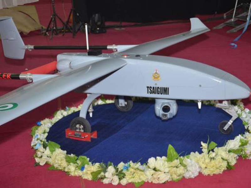
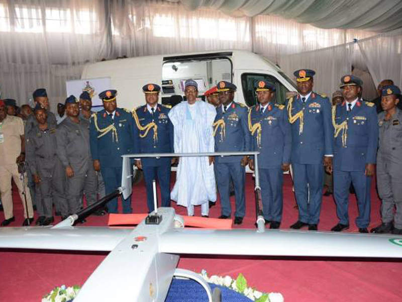
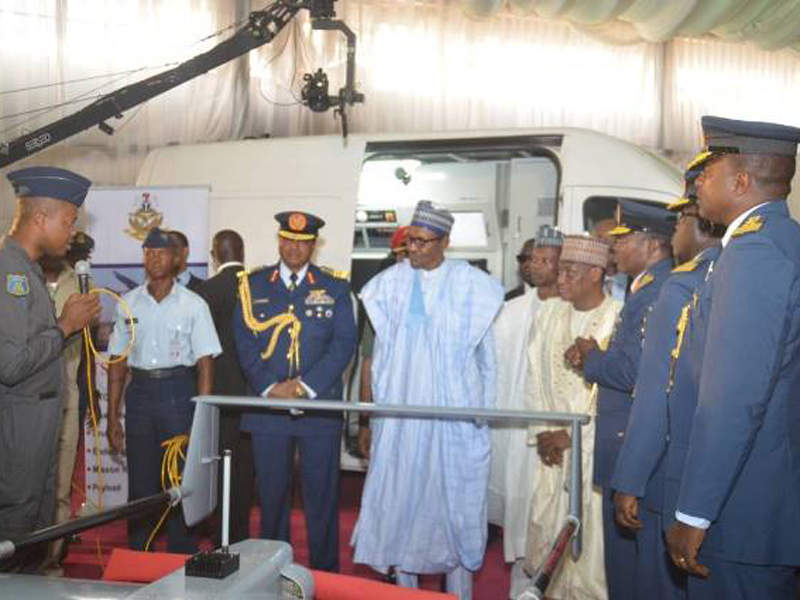
Tsaigumi, Nigeria’s first indigenous operational unmanned aerial vehicle (UAV), was brought into service with the Nigerian Air Force (NAF) in February.
It was developed by the NAF Research and Development Centre at NAF Base in Kaduna, in co-operation with Portuguese firm UAVision.
The UAV is intended to support NAF’s combat operations in the north-eastern region and theatre of operations in other parts of the country.
The NAF announced its plans to build the Tsaigumi UAV in September 2015, following which a memorandum of understanding was signed between the NAF and UAVision in October 2016. The MoU is meant for locally producing military UAVs equipped with indigenous technologies, primarily for the NAF.
Tsaigumi UAV mission capabilities
The Tsaigumi UAV is designed to provide enhanced intelligence, surveillance and reconnaissance (ISR) data, both during the day and at night, to support counter-terrorism operations.
Other mission capabilities of the unmanned aircraft include patrolling of Nigerian exclusive economic zone (EEZ), policing, search-and-rescue (SAR), monitoring of coastal areas, convoy protection, maritime patrol, weather forecast, inspection of power lines and pipelines, disaster management, wildlife protection and mapping.
Design and features of Tsaigumi UAV
The Tsaigumi UAV system comprises an unmanned aerial vehicle, ground control station and associated equipment.
The UAV features a high-wing, monoplane design with twin-boom arrangement. Its tail section is arranged in H-type configuration to provide aerodynamic stability and control for the fuselage.
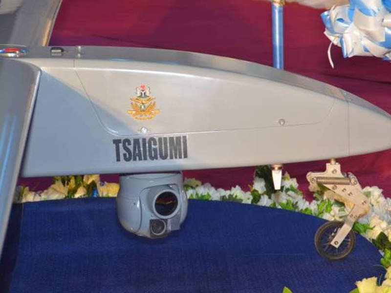
A tri-cycle landing gear, comprising two main wheels attached to fuselage structure, and a steerable wheel mounted under the nose section support the UAV’s take-off and landing.
The maximum take-off weight of the UAV is 95kg.
Payloads of Tsaigumi unmanned aircraft
Payloads are housed in a gyro-stabilised, dual-sensor gimbal unit attached beneath the fuselage. The payload pod incorporates an electro-optic / infrared (EO/IR) camera system, which can capture high-definition imagery and video for aerial surveillance and monitoring applications.
The EO/IR sensor also allows the UAV to perform target tracking, inspection and surveying, and other missions in any lighting condition.
Real-time imagery and video is delivered to the ground control station using a data link.
The drone uses global positioning system (GPS) to obtain geolocation. An inertial navigation system (INS) is installed onboard to track the position and direction of objects on land and sea.
Ground control station
The ground-based control unit enables UAV operator to perform mission planning and flight control using a digital control unit from remote location.
The large display units of the ground control station present location and flight parameters of the aircraft, as well as real-time ISR video streaming and images.
Tsaigumi UAV propulsion and performance
The Tsaigumi unmanned aerial vehicle is powered by a single motor driving a two-bladed propeller arranged in pusher propeller configuration.
It has a maximum service ceiling of 15,000ft, an operational range of 100km, and can remain airborne for more than ten hours.
The Global Unmanned Aerial Vehicles (UAV) Market 2011-2021
This project forms part of our recent analysis and forecasts of the global unmanned aerial vehicles (UAV) market available from our business information platform Strategic Defence Intelligence. For more information click here or contact us: EMEA: +44 20 7936 6783; Americas: +1 415 439 4914; Asia Pacific: +61 2 9947 9709 or via email.


