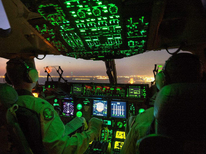

In times of crisis and combat, airdrops can be literal life savers, but resupplying ground troops by air has always faced one threat that humanitarian disaster relief typically does not – hostile gunfire. It has forced a fundamental dilemma on airborne logistics ever since the introduction of airdrops during the Second World War. Do you drop from a low level to maximise delivery accuracy, but potentially putting your aircraft and flight crew in danger, or from high altitude to keep them safe, but run the risk of your supplies being lost or falling into enemy hands?
For the past 25 years, GPS has been helping keep airdrops from going astray and racking up an enviable record of success along the way, but good though it is, satellite navigation does have its limits. There are places where GPS signal simply cannot go, either because the terrain naturally blocks it, or potentially because it is being maliciously jammed.
This may be about to change, however, with a range of new technologies waiting in the wings to bring even greater certainty to airdrops in the future.
Precision airdrops
After the First Gulf War, when the capabilities of smart munitions had been showcased to TV audiences on an almost nightly basis, it was not a big jump to harness the same kind of technology that could drop bombs down air vents, to land high-altitude airdrops on target. In 1993, the US Army and Air Force began to work towards a co-development initiative that would ultimately unite their respective Precision and Extended Glide Airdrop System (PEGASYS) and Precision Airdrop System (PADS) into a single programme to meet their combined operational needs.
The outcome, known as the Joint Precision Airdrop System (JPADS), combines a steerable parafoil decelerator, controlled by a GPS-equipped autonomous guidance unit (AGU) using advanced navigational control and mission planning software, and powered by an on-board battery pack. Having first obtained its initial position before leaving the aircraft, the AGU then continually updates it by GPS throughout its descent, enabling the load to be manoeuvred very accurately towards its intended landing point. The system can also receive updates en-route.

US Tariffs are shifting - will you react or anticipate?
Don’t let policy changes catch you off guard. Stay proactive with real-time data and expert analysis.
By GlobalDataIt all adds up to unparalleled levels of accuracy, increasing survivability for aircraft and crews, allowing multiple load / multiple destination releases from a single point, opening up the use of smaller and more numerous drop zones, and with less ground to mark and secure, also reducing the risk of detection for troops on the ground.
Already with an impressive reputation for use in combat from Afghanistan and elsewhere, the US Army is now exploring the use of visually aided navigation technology to take the system to the next level.
"We expect it will allow equivalent JPADS accuracy in scenarios when GPS is denied or inaccessible – mountainous, canyon and/or urban terrain that blocks GPS satellites, for example," says Richard Benney, director of the Aerial Delivery Directorate at the US Army Natick Soldier Research, Development and Engineering Center (NSRDEC). He explains that the technology will be particularly useful in the feature-rich environments of built-up areas, and could also potentially be extended to featureless deserts and snowfields if it were to be augmented with additional sensors such as an inertial measurement unit.
A tech-enhanced 'old school' approach
The fundamental idea behind the new approach is simple. As the air-dropped cargo descends, software compares images of the ground gathered from its on-board cameras with a database of up-to-date images of the terrain previously obtained by drones or satellites, and guides its path appropriately. It has been described as a modern take on what humans have been doing since the dawn of time – navigating by sight.
There is an apparent trend within the US Armed Forces over recent years to reduce their dependence on GPS and move towards more 'old school' approaches. The US Navy, for instance, recently announced the return of celestial navigation classes, arguing that "you can't hack a sextant" – but Ryan Buckley, a mechanical engineer with the office of the Product Manager for Force Sustainment Systems (PM-FSS) Aerial Delivery Systems at Natick, explains that is less of a driver on this move.
"[The] primary reason for investment is to ensure JPADS can reach their intended impact point in GPS-denied, terrain blocked, urban locations," Buckley says.
Urban focus
This focus fits in with the growing belief that at some point in the not too distant future, US troops will find themselves fighting or patrolling in one or other of the world's big cities. The 2014 report 'Megacities and the United States Army: preparing for a complex and uncertain future' from the Chief of Staff of the Army Strategic Studies Group, examined the strategic importance of megacities – conurbations with populations of ten million or more. Currently there are over 20 such cities across the globe, and UN forecasts suggest that number will double by around 2025.
The report says that they "are rapidly becoming the epicentres of human activity on the planet and, as such, they will generate most of the friction which compels future military intervention" and warns that the US Army is currently ill-prepared to operate within them. Overcoming today's reliance on GPS-guided airdrops could be a big step towards changing that.
Technology investment
Replicating the current system's performance will be a key factor, and Benney says that NSRDEC, together with PM-FSS and the US Transportation Command are also investing in technologies that will significantly increase JPADS accuracy, reduce costs and reduce the retrograde/recovery weight. He explains that with bleed air actuators embedded in the top skin of the parafoil for turn and lift-to-drag control, for example, there would be no need for the AGU, and anything which makes for a cheap, reliable delivery vehicle obviously helps ensure that airdrops remain a cost-effective resupply solution.
"Viewed holistically, we expect our potential future sensor suite – which could consist of visual sensors, inertial sensors, as well as GPS – to match or exceed the current accuracy performance of GPS alone," says Benny.
With the work ongoing and the system moving towards technology readiness level 6 (TRL 6) – a major step up in a technology's development, where a representative prototype or model is tested in a relevant environment – it may not be very long before it starts being used operationally.
"The Army Science & Technology expectation is to reach TRL 6-plus for many potential JPADS improvements," Benny explains. "And PM-FSS, with many stakeholders, expects to prioritise the fleet-wide modification investments within around one to three years and mod the JPADS fleet in the three to five-year range."
Future developments
Accurate positional information in GPS-denied environments obviously has uses beyond airdrops, too.
Similar technology could be a benefit to almost anything or anyone needing to know precise location data, including paratroops, manned and unmanned aircraft, and vehicles on the ground. Although for now the focus is on circumventing the GPS black-spots caused naturally by terrain, the future might well see deliberate attempts at jamming or even space attacks directed at the GPS constellation itself. Under such circumstances, effective visually aided navigation technologies would represent a significant strategic safeguard, and one that the Pentagon clearly recognises.
"The visually aided technology that NSRDEC is investing in for JPADS improvements is government-owned and being shared with other DoD SMEs who are investing in the same [or] similar technologies for numerous other air and ground system S&T [science and technology] activities," Buckley says. "The DoD S&T community is collaborating on these technologies to provide the best return on investment across the entire DoD portfolio."


